 Following the devastating Trail of Tears, 1838-39, the Cherokee Nation was anxious to reestablish its government and worked tirelessly to that end. Tahlequah was established as the seat of government, and it was on this site that the Cherokee Council first met to reestablish the laws and government. On September 6, 1839, the Cherokee Nation adopted a new constitution.
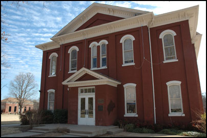
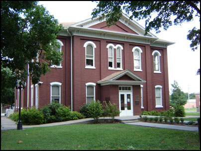
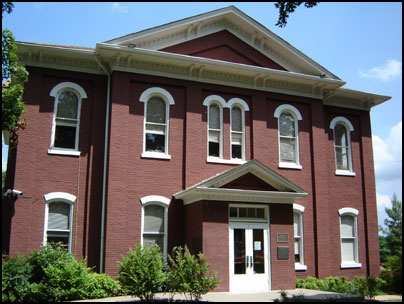
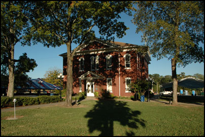
During the Civil War, Cherokee Confederate Stand Watie burned the log structures that stood here. Following the war, in 1870, the Cherokee Nation built the structure that stands today. In 1907, with statehood, the City of Tahlequah and Cherokee County took control of the site. But it was returned to the Cherokee Nation in the 1970s.
Today, the Capitol Building stands as a symbol of the strength and resilience of the Cherokee Nation, the second largest Indian tribe with about 300,000 tribal citizens. Every year, on Labor Day weekend, Cherokee people gather in Tahlequah for Cherokee National Holiday to honor the signing of the 1839 Constitution.

Cherokee Nation Capitol Building Travel Details
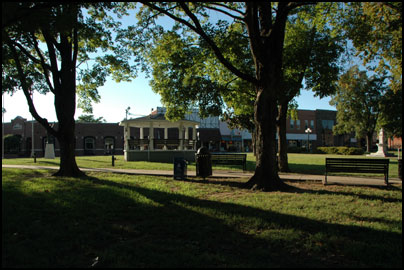
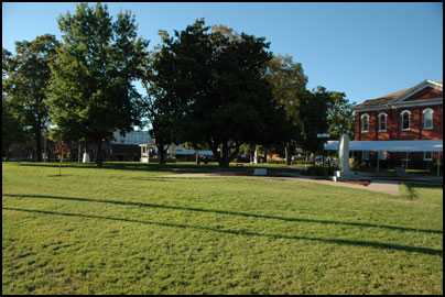
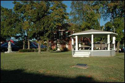
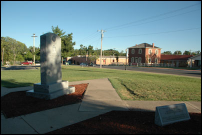
The building is currently used as the Cherokee Nation Courthouse, so it’s not a tour spot, but the Capitol Building is in the middle of a downtown Tahlequah, and the city square is full of Cherokee monuments, as well as a nice gazebos to welcome year-round visitors.
Directions: The Cherokee Nation Capitol Building is located at 150 South Muskogee Avenue (aka Highway 62) in downtown Tahlequah, OK. For specific directions, click the “Directions” link in the location bubble of the map above and enter your starting location on the left.
GPS & Map: 35.91275832137945,-94.97088432312012