 In 1830 the US Congress, at the behest of President Andrew Jackson, passed the “Indian Removal Act.” With this act, the US intended to removal all Indian people to Indian Territory, land west of the Mississippi River. Removal was “voluntary” in as much as the US government had to arrange removal by way of a treaty with each tribe.
At this time the Cherokee Nation capital was at New Echota, in Georgia, but by 1832 the state of Georgia was passing laws which stripped the Cherokee of their sovereignty. The Cherokees were prohibited from holding council meetings in Georgia, unless the reason was to sign away their land by treaty. Because of this, the Cherokee capital was moved from New Echota, Georgia to Red Clay, Tennessee.
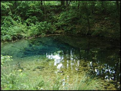
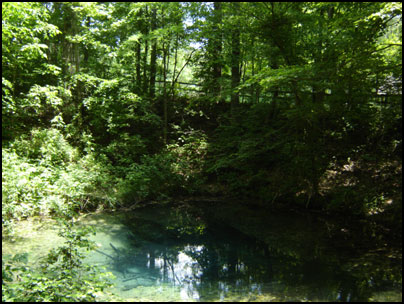
From 1832 until 1838 the Cherokee Nation council met at Red Clay, beside Blue Hole Spring. The council repeatedly voted unanimously against US Department of War removal treaties, however in 1835 a small faction of Cherokees known as the Treaty Party gathered in secret at New Echota, Georgia to sign the Treaty of New Echota, which ceded the Cherokee Nation lands in return for land in Indian Territory. The treaty was illegal according to Cherokee law, but was recognized by the US government. It was at Red Clay, the capital in exile, where the Cherokee learned of the coming removal.
In May 1838, General Winfield Scott and a command of 7,000 men arrived in Cherokee lands with orders to remove the Cherokees from their homes and force them west. This event later became known as the Trail of Tears, or the Trail Where They Cried, where thousands of Cherokee perished.
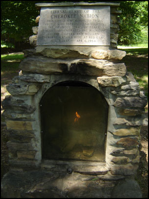
In 1984, almost 150 years after removal the Cherokee met again at Red Clay. The reunion was commemorated by the return of the eternal flame to Red Clay to honor the Cherokee who experienced division and removal, those who died on the Trail of Tears, and the Cherokee of today and tomorrow.
The location of Red Clay was chosen because of its proximity to Blue Hole Spring, an underground spring. The Cherokee believed this spring was a door to another world similar to ours, but with a different climate since the water is warm in the winter and cool in the summer.
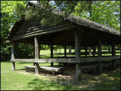
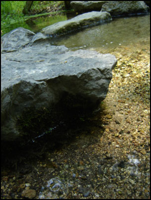
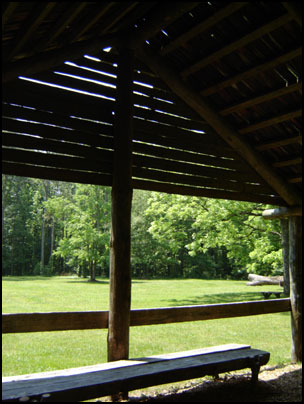
Red Clay State Historic Park Travel Details
The park is open daily 8 a.m. until sunset in the spring, summer, and fall. Closes at 4:30 p.m. in the winter. In the summer, the Visitor’s Center was open 9:00 a.m. to 5:30 p.m. on Tuesday through Saturday and 1:00 p.m. to 5:30 p.m. on Sunday and Monday. In the winter, the center closes at 4:30 p.m. Closed Christmas.
Directions: Red Clay State Historic Park is just east of Chattanooga, Tennessee on the Georgia state line. For specific directions, click the “Directions” link in the location bubble of the map above and enter your starting location on the left.
GPS & Map: 34.98992547090185,-84.9466323852539