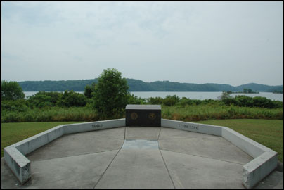
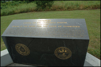
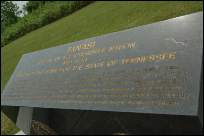
 Along with neighboring Chota, Tanasi was one of the two Overhill towns recognized as a “capital” of the Cherokee Nation during the 1700s. However, to most it is best known as the namesake for the state of Tennessee. The spelling variation of Tennessee first appeared on a map in 1762. Later in 1796, the nation’s 16th state selected the name Tennessee upon admission to the union.
Sadly, in 1979 Tanasi and several other historic Cherokee villages were inundated with water when Tellico Lake was created. Today this monument lies on the banks of Tellico Lake, about 300 yards east of where the former town once stood.


Tanasi Travel Details
The site is open year-round.
Directions: From Vonore travel east on highway 360. Just past Sequoyah’s Birthplace Museum is a sign leading to Tanasi & Chota. Follow the signs to the site. For specific directions, click the “Directions” link in the location bubble of the map above and enter your starting location on the left.
GPS & Map: 35.55108298466765,-84.12549018859863